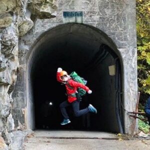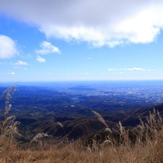
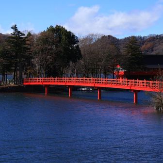
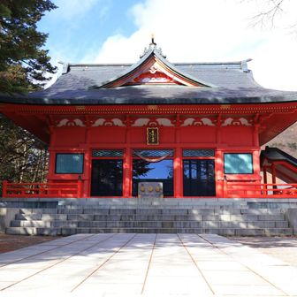
A YAMAP activity diary dated November 7, 2026 records a hike to Komagatake on Mount Akagi in Gunma Prefecture. The writer notes that the blue sky and the red Akagi Shrine were beautiful.
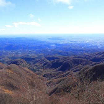
The log is filed on the Akagisan, Kurobisan, and Arayama map and tagged as mountain hiking. Named points include the Akagi-Komagatake trailhead and Komagatake, with the trailhead listed again after the summit.
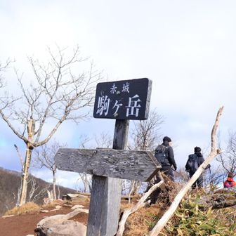
Recorded totals for the day:
- Time: 2 hours 23 minutes
- Rest: 59 minutes
- Distance: 2.5 km
- Ascent: 367 m
- Descent: 362 m
YAMAP rates the course “easy” (やさしい), level 7, calculated from a standard time of 1 hour 57 minutes. An average pace is labeled in the log, but no pace figure is given. Clock times in the checkpoint list are not clearly separated, so this summary does not assign arrival or departure minutes.
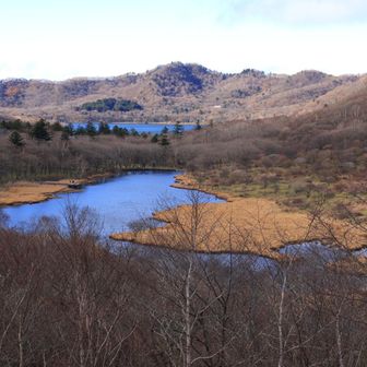
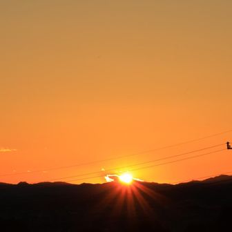
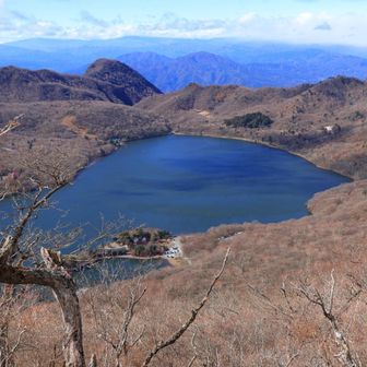
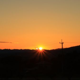
Photos in the diary are captioned as scenery, the summit, Onuma, a red bridge, Akagi Shrine, kakumanko, sunset, and a closing note of thanks.
Source: yamap.com (originally published 2026-11-12 05:00 UTC+8)