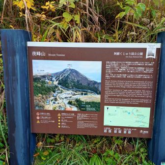
A YAMAP activity log attributed to Torao records a 2.9 km hike in the map area labeled Aso Mountains, Mt. Takadake and Mt. Nekodake. The log shows a total time of 1 hour 47 minutes, from 08:28 to 10:15, including 17 minutes of rest. It lists 242 m of ascent and 243 m of descent.


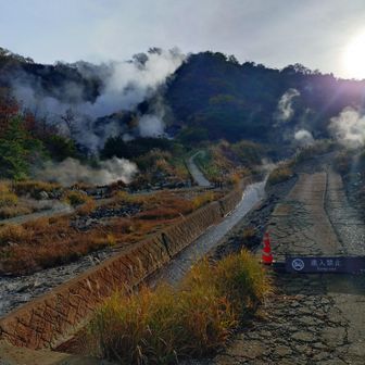
The map-area label does not establish that the hiker reached either named summit. The supplied log gives no hiking date or route details, so it should not be used as a trail guide or as an estimate of how long another hike will take.


Source: yamap.com (originally published 2026-11-16 09:27 UTC+8)