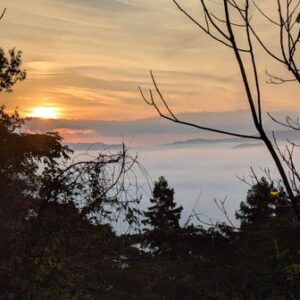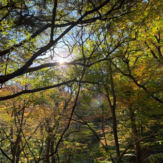
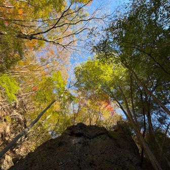
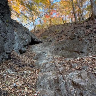
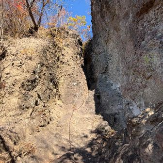
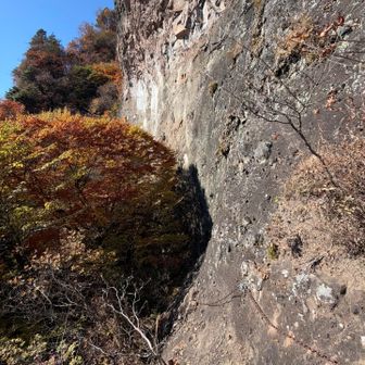
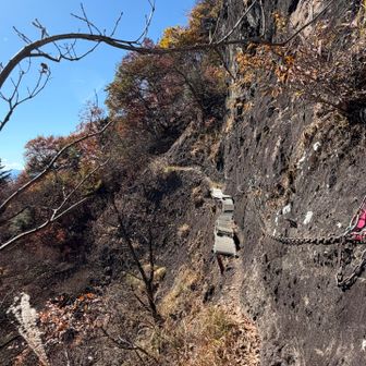
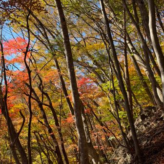
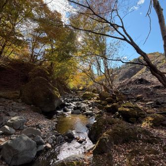
In an activity log published on November 16, 2026, a YAMAP user described climbing to the top of Chōsu-no-Kashira in Ura-Myōgi, Japan, then descending on a varied loop. The user noted broadleaf trees and colorful autumn foliage.
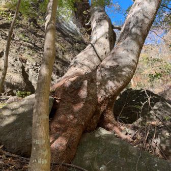
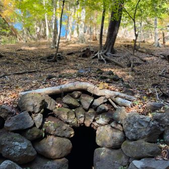
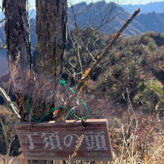
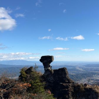
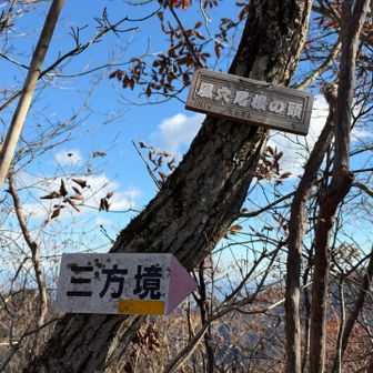
The recorded route began and ended at the former Ura-Myōgi National Lodge parking area. It covered 7.4 km in 5 hours 36 minutes, including 1 hour 28 minutes of breaks, with 851 m of ascent and 851 m of descent. Listed points along the way include Chōsu-no-Kashira, Eboshi Rock, Sanpō-zakai and Momiji Valley.
Source: yamap.com (originally published 2026-11-16 07:50 UTC+8)