In an activity report published on November 10, 2026, a hiker described a group walk along the ridge from Yamamotoyama toward Shizugatake in Japan’s Shiga Prefecture. The recorded route covered 12.3 km, with 792 m of ascent and 750 m of descent. The activity data lists a total time of five hours, including 44 minutes of rest.
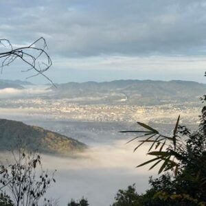
The group had to contend with uncertain weather but was able to complete the outing. According to the hiker, Lake Biwa was only intermittently visible along the ridge; the view opened up at Shizugatake. The account also mentions a long road section from Kawake Station, which the group managed with three cars. It does not provide enough detail to turn that arrangement into a general transport plan for other walkers.