A hiking report published on November 18, 2026 describes a route across Mount Ryōzen’s limestone plateau. The recorded outing covered 12.7 km in 6 hours 31 minutes, including 26 minutes of rest, with 1,014 metres of ascent and 1,015 metres of descent. The report does not specify the date of the hike.
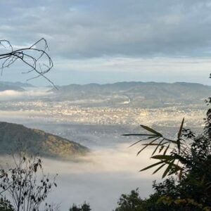
After leaving the wooded section, the hiker followed red markers on the rocks across terrain they described as maze-like. From the summit, they reported views of Mount Ibuki to the north, Lake Biwa and the Ōmi Plain to the west, and the autumn-coloured Suzuka Mountains to the east.
Strong wind made it too cold to stay long at the summit. On the descent toward Asefuki Pass, the hiker found the mud very slippery and reported falling once despite proceeding carefully. Someone they met at the parking area had warned them about that section.