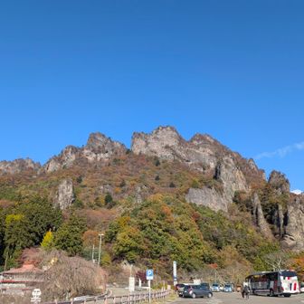
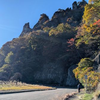
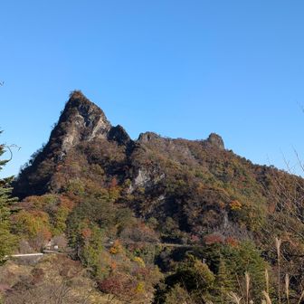
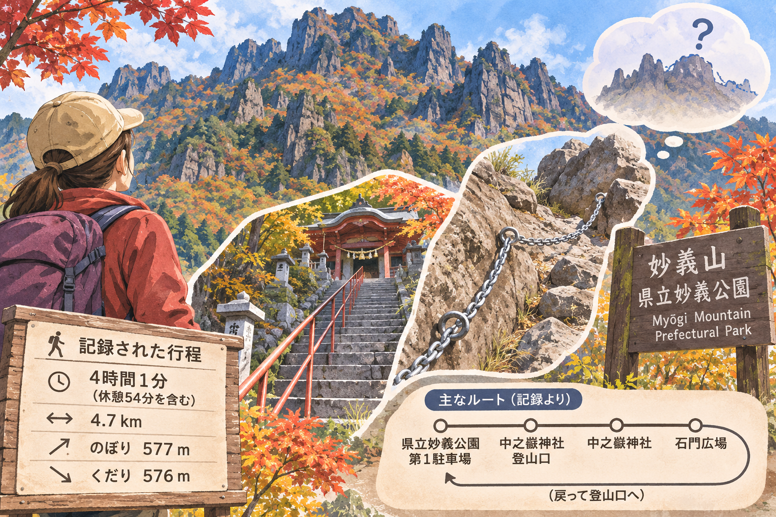
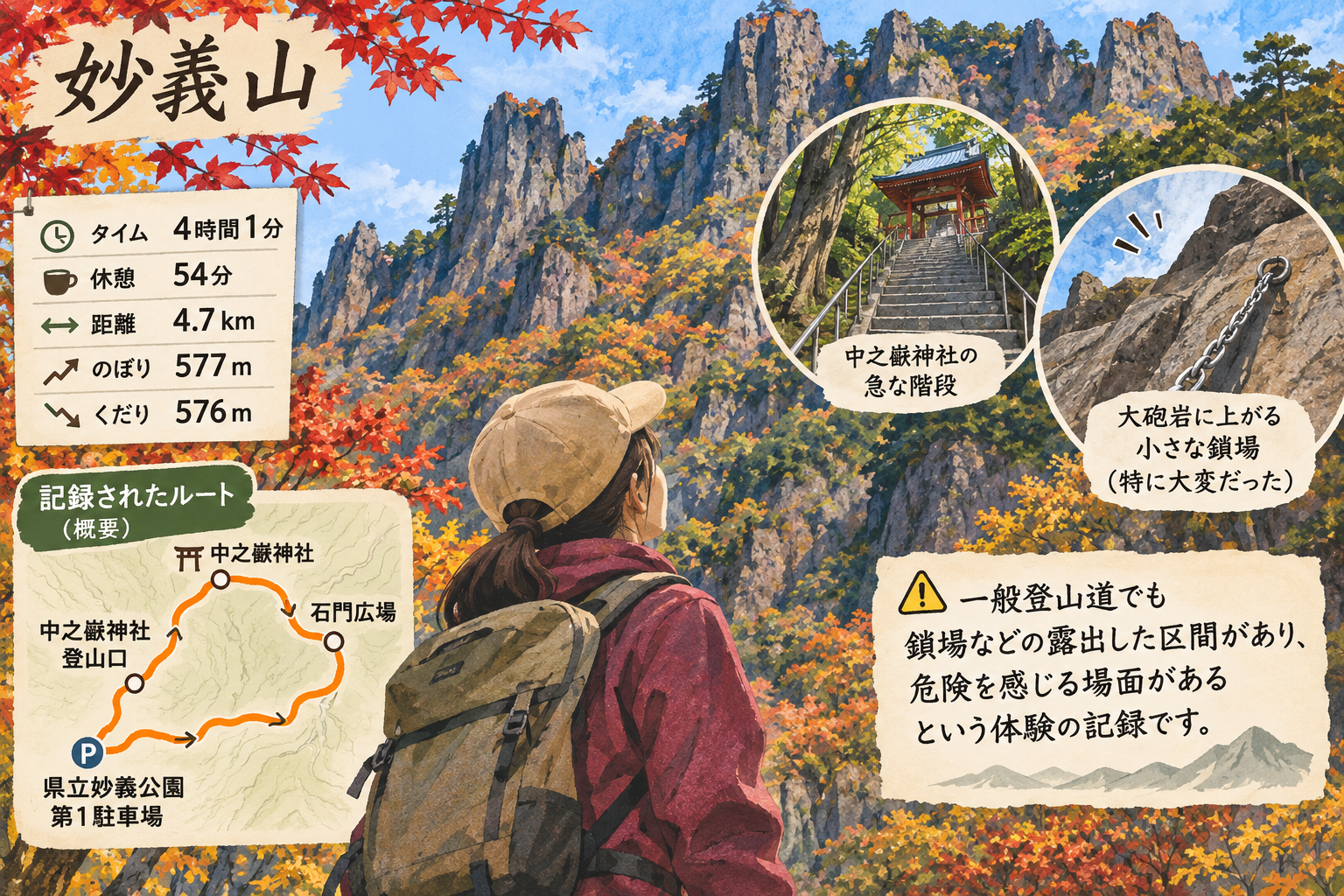
In an activity log published on November 15, 2026, a hiker described their first walk among the rock formations of Myōgi Mountain. The log records a 4.7-kilometre route taking 4 hours and 1 minute, including 54 minutes of rest, with 577 metres of ascent and 576 metres of descent. It does not specify the date of the hike.
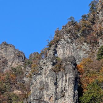
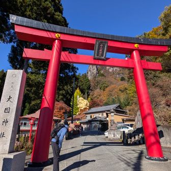
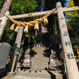
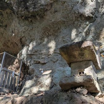
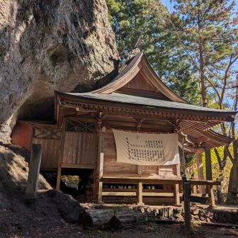
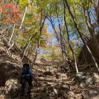
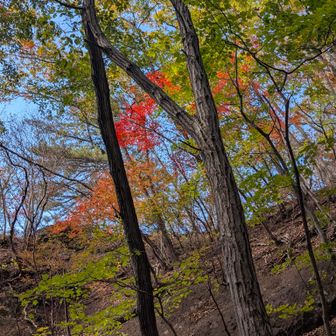
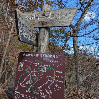
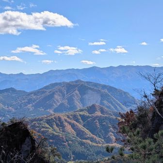
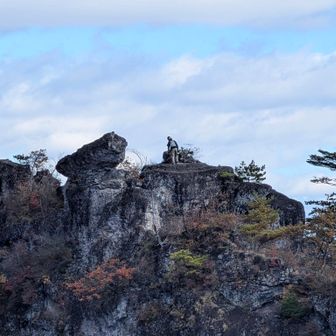
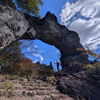
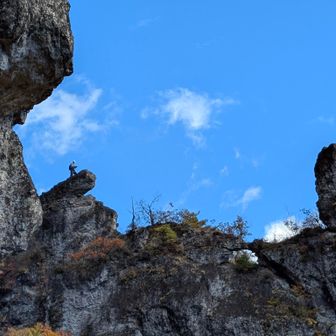
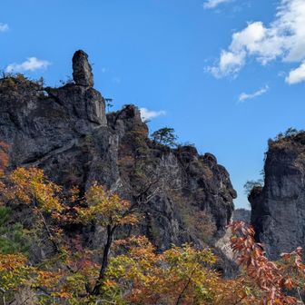
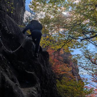
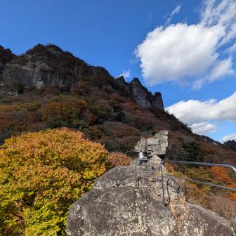
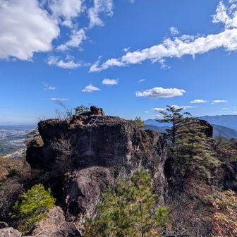
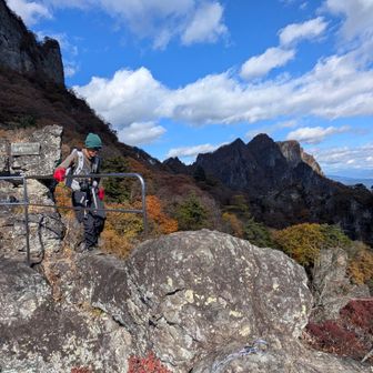
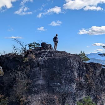
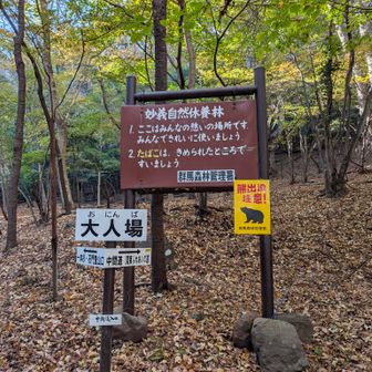
The recorded route began at the first parking area of Myōgi Prefectural Park and passed the Nakanotake Shrine trailhead, Nakanotake Shrine and Ishimon Plaza before returning to the trailhead. The hiker described the stairs at the shrine as steep and said a short chain-assisted section near Taihō-iwa was particularly difficult. After climbing it, they worried about how to get back down.
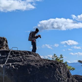
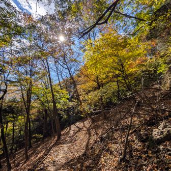
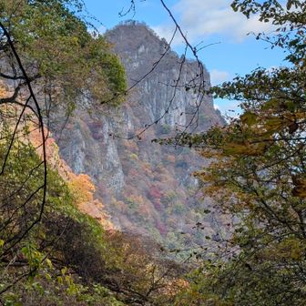
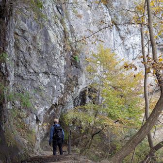
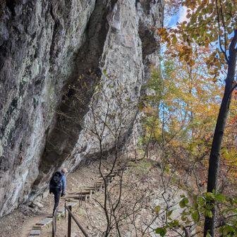
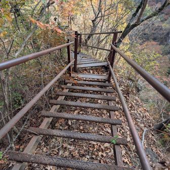
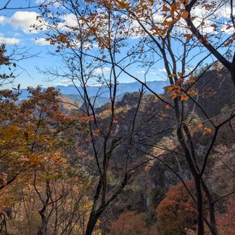
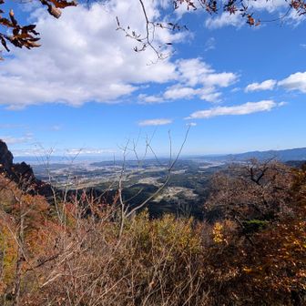
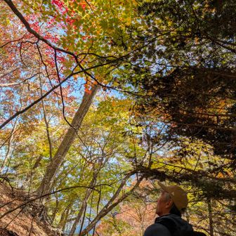
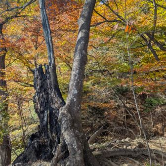
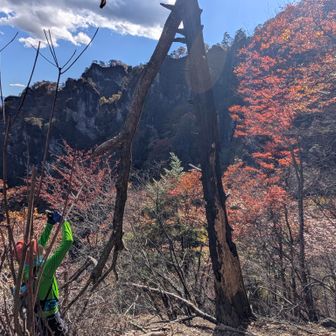
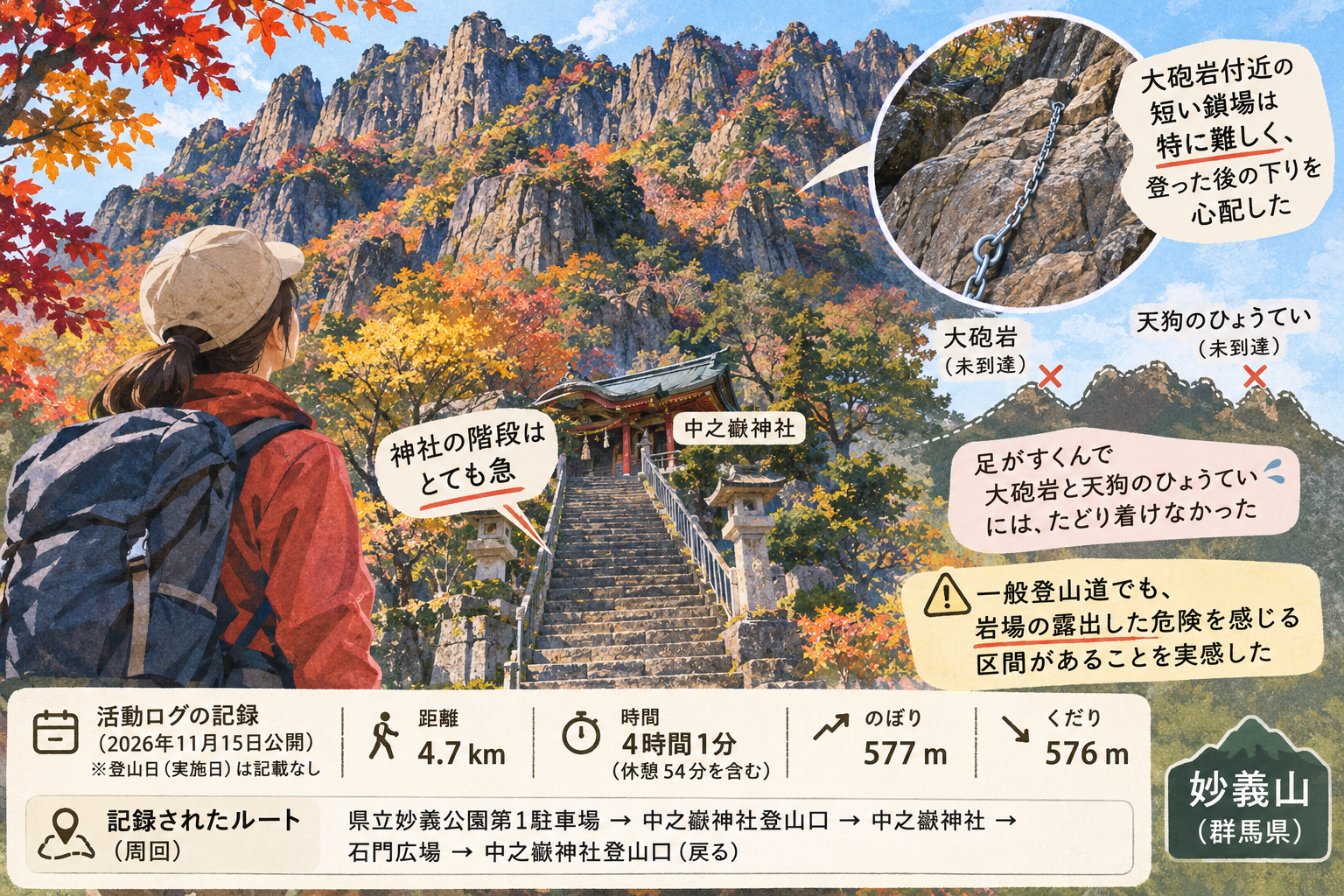
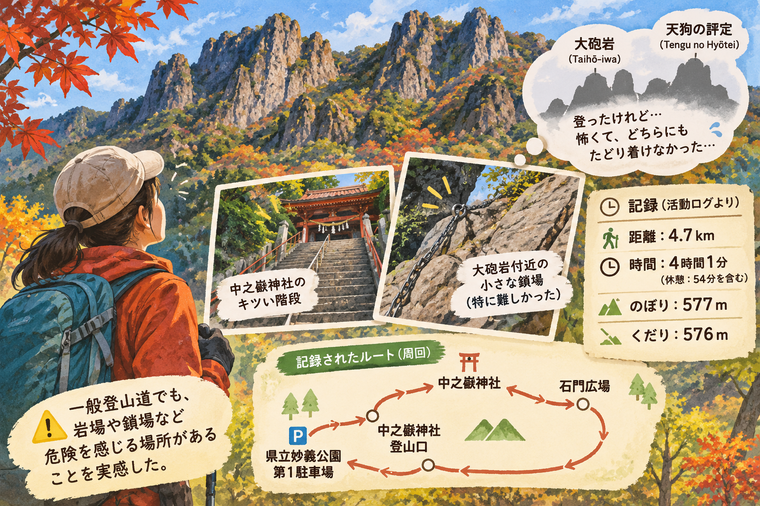
Although the route’s checkpoint list includes Tengu no Hyōtei, the hiker wrote that fear kept them from reaching both Taihō-iwa and Tengu no Hyōtei. Their account is a reminder that even a route described as a general hiking trail can include exposed sections that feel hazardous; it is not evidence that they reached either landmark or a summit.