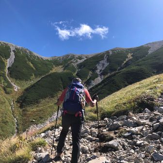
A hiking report dated November 10, 2026, describes an autumn outing on Kaburayama. The recorded route covered 8.1 km in 4 hours 55 minutes, including 1 hour 9 minutes of breaks, with 783 m of ascent and 778 m of descent.
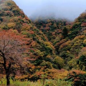
The hiker reported a spacious parking area and toilets at the trailhead. Early in the walk, they passed a grove of kabusu-gi—cedars growing from large stumps—before continuing along a traversing trail. Autumn foliage was visible along the way.
The summit was busy when the hiker arrived, but they described enough space to stop for a meal and take in views of Mount Ontake, Mount Norikura and Mount Haku. These are observations from that outing, not a guarantee of current facilities, trail conditions or visibility.