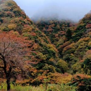
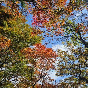
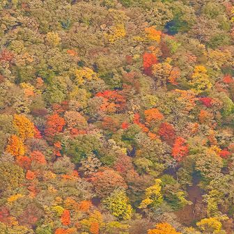
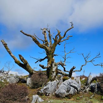
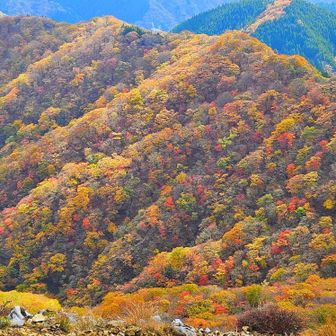
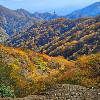
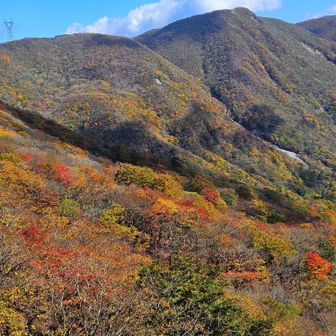
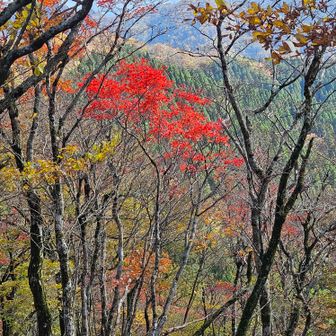
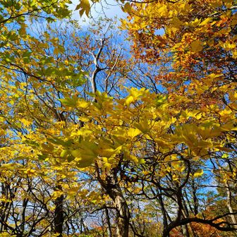
A hiking account published on November 11, 2026, describes an autumn walk from the Komatadani trailhead up the T-shaped Ridge toward Mount Oike’s Tableland. The hiker reported red and yellow foliage along the ridge and views of Botanbuchi and Tengu-bana on the approach. The account does not specify the hike’s calendar date.
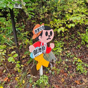
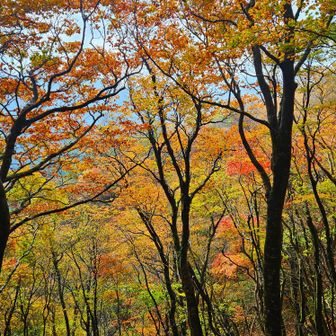
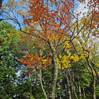
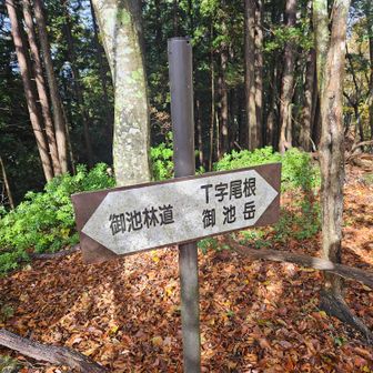
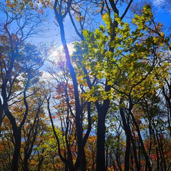
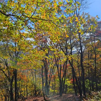
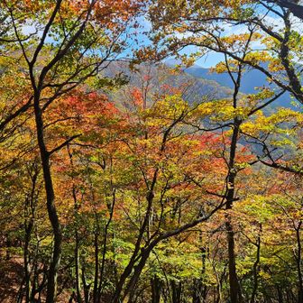
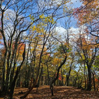
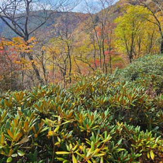
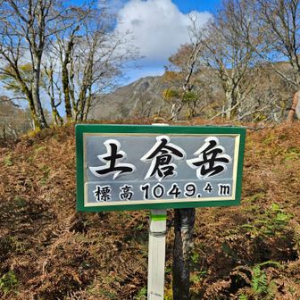
The recorded route covered 8.8 km in 5 hours 43 minutes, including 50 minutes of rest, with 859 m of ascent and 862 m of descent. According to the route log, the hiker started at Komatadani at 8:26 a.m., reached the T-shaped Ridge trailhead at 8:41 a.m., passed East Botanbuchi around noon and Tsuchikuradake at 12:32 p.m., and returned to Komatadani around 2:10 p.m.
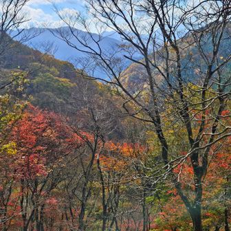
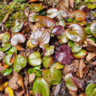
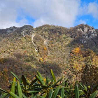
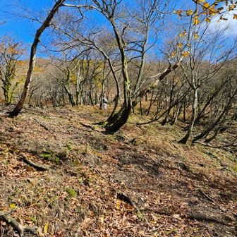
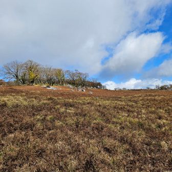
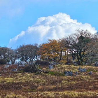
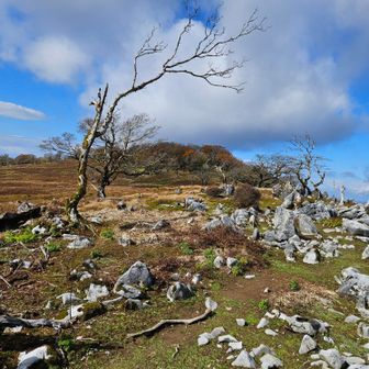
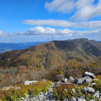
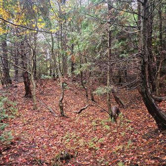
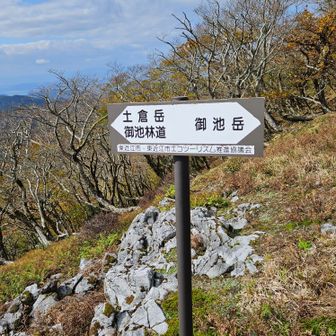
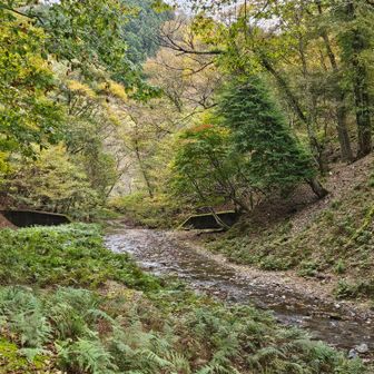
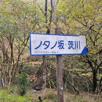
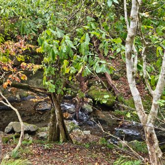
The hiker found most of the ridge comfortable to walk, but described steep climbs before reaching it and again on the way up to the Tableland. After Tsuchikuradake, they took a steep shortcut toward a forest-road junction. A photo caption describes part of that descent as a minor route beside a stream: it was not shown on the YAMAP map, although the hiker saw marker tape. That account should not be taken as confirmation of a mapped or maintained descent route.

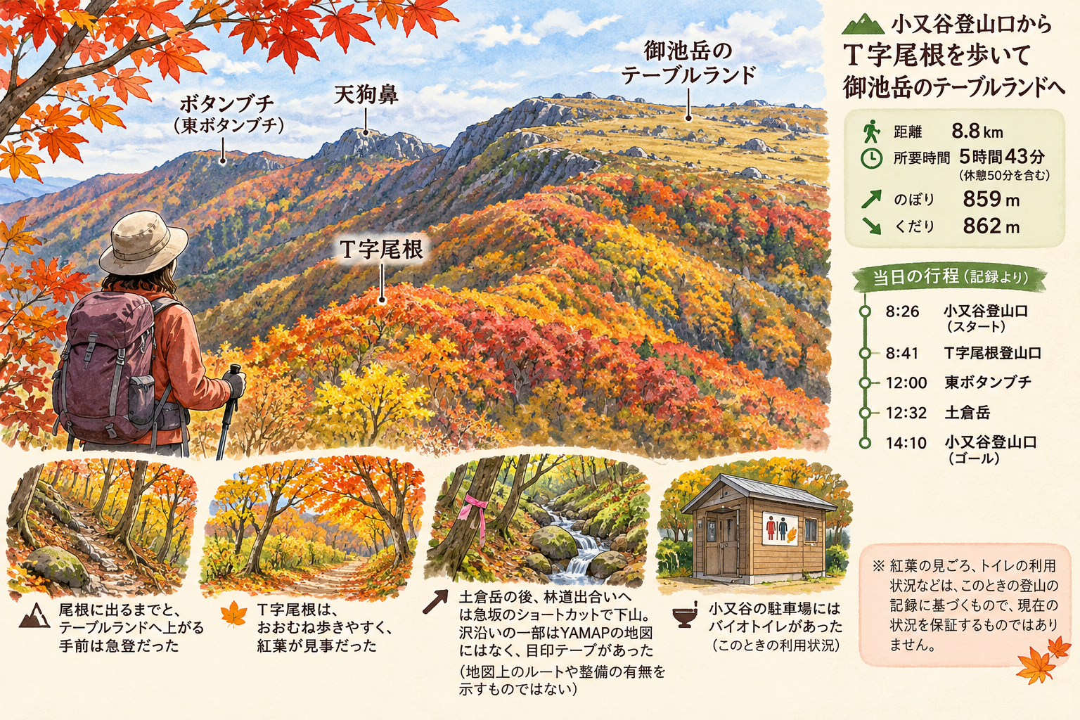
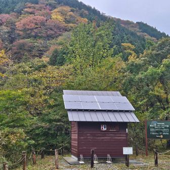
A photo caption also notes a bio-toilet at the Komatadani parking area. Both the facilities and the foliage observations reflect this particular outing, not a guarantee of current conditions.