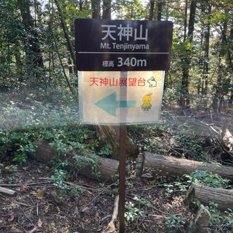
A YAMAP activity record published on November 13, 2026 describes a hike from the Tenjin Shrine trailhead through Tenjinyama and Meotoyama to Joyama, returning by the same route. The record does not specify the hike’s calendar date.
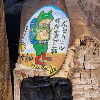
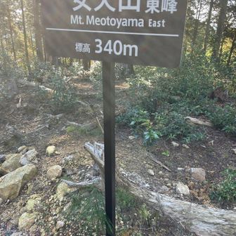
The recorded route covered 6.1 km in 4 hours 56 minutes, including 1 hour 34 minutes of breaks. It logged 620 m of ascent and 617 m of descent. The checkpoints place the outward route through Matsumoto Pass before Joyama, with the return passing through the same pass and Meotoyama.
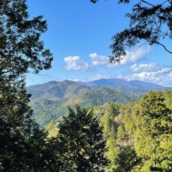
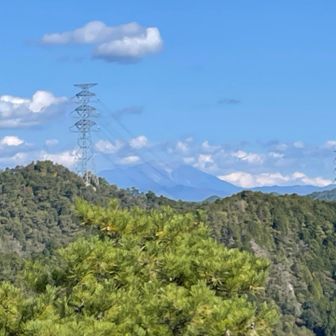
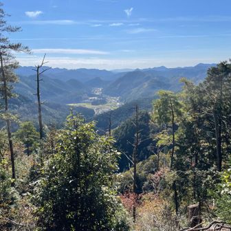
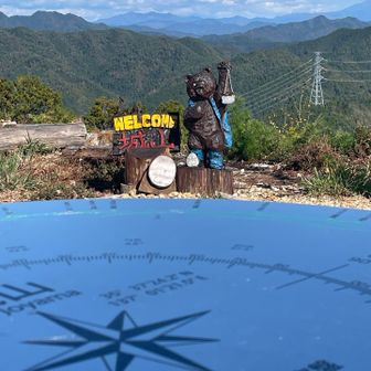
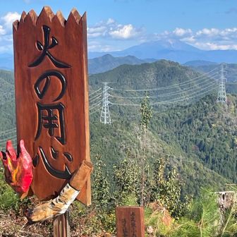
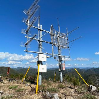
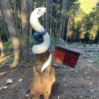
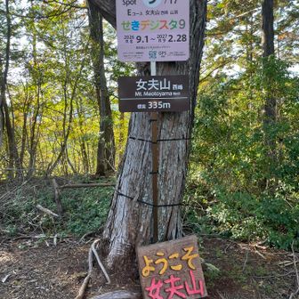
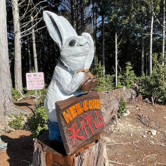
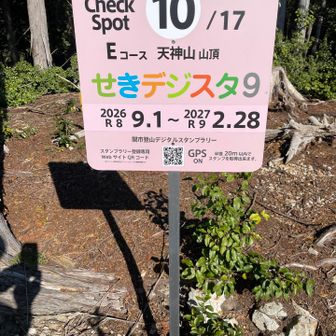
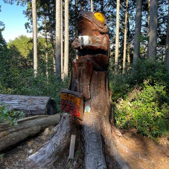
The hiker described calm, clear weather and said Joyama’s open views included Mount Hakusan, Mount Ontake and Mount Ena. They also reported collecting Seki City digital stamps at the peaks and seeing chainsaw art. These are conditions and observations from this activity, not a forecast or a guarantee of views on another day.