In an activity log published on November 16, 2026, a hiker described turning a planned loop on Mount Katamuki into an out-and-back hike when fog moved in. The hiker had considered using the 大白谷 route, but said the section ahead was unfamiliar and decided not to continue with the loop.
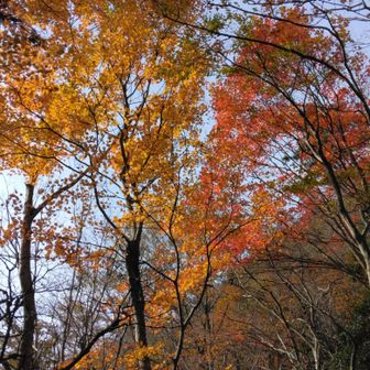
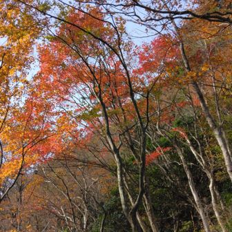
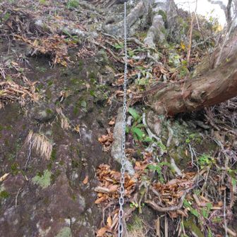
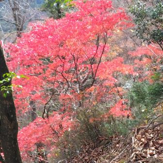
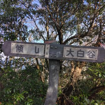
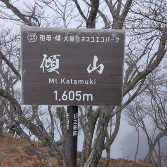
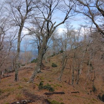
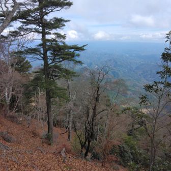
The recorded route covered 16.9 km, with 1,632 m of ascent and 1,633 m of descent. The log lists 9 hours 13 minutes of activity time and 38 minutes of breaks. It records stops at East Katamuki and Mount Katamuki before the return along the same route.
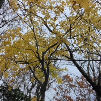
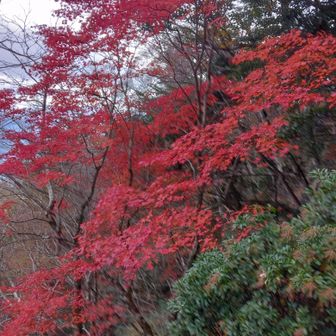
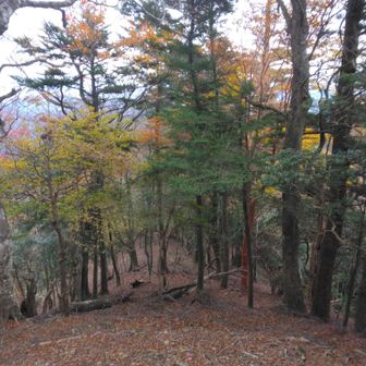
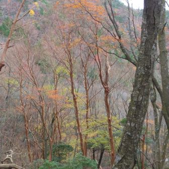
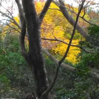
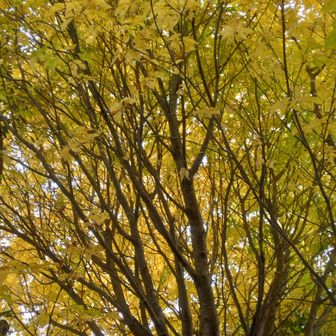
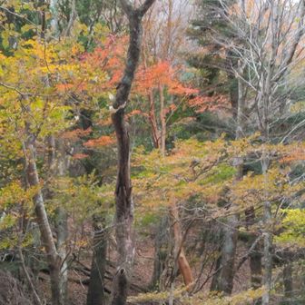
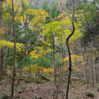
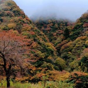
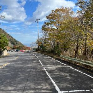
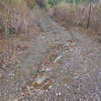
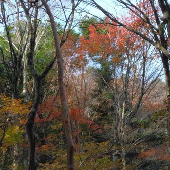
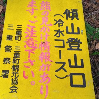
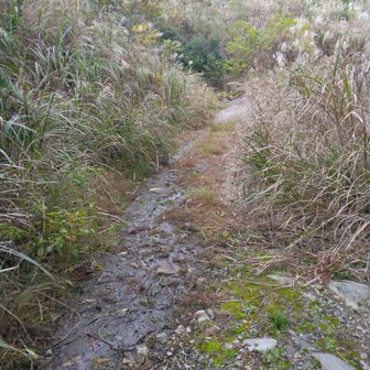
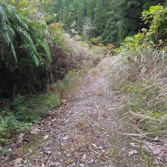
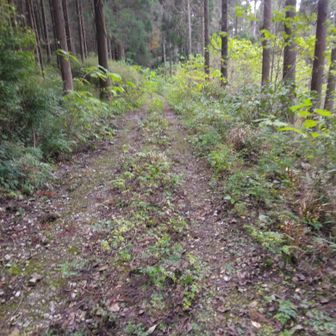
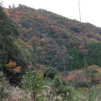
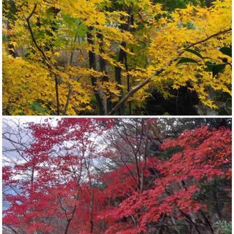
Access was a significant part of this outing. The hiker said they had been able to drive to the trailhead five years earlier, but could not do so on this visit. They reported walking 4.2 km along a forest road each way: about 1 hour 15 minutes on the way up and 1 hour on the way down. Near the trailhead, they saw red, yellow and orange autumn foliage, though they said cloudy conditions made it difficult to photograph.
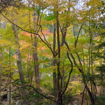
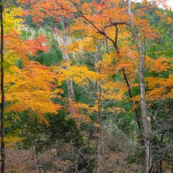
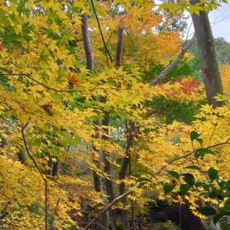
These access and visibility details describe one hiker’s experience, not a confirmed statement of current trail or road conditions.