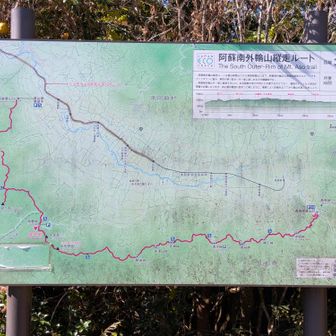
In a hiking account published on November 14, 2026, a solo walker described choosing a gentler out-and-back route to Kanmurigatake from Jizo Pass. They had originally considered a return hike via Ichinomine and Ninomine, but changed plans after taking about a month off because of an injury. They were unsure how walking with a pack would feel.
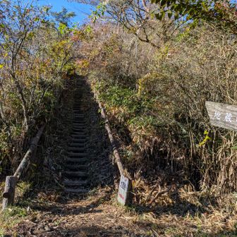
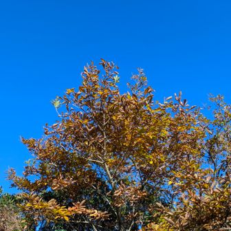
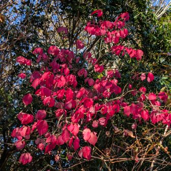
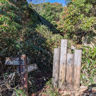
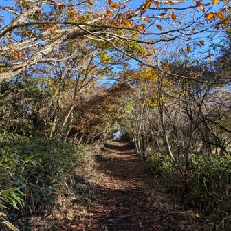
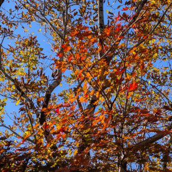
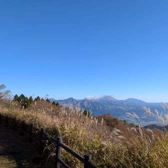
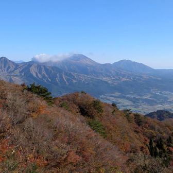
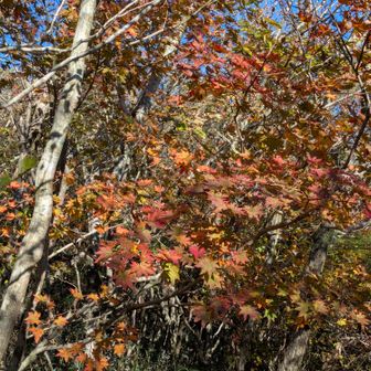
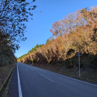
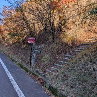
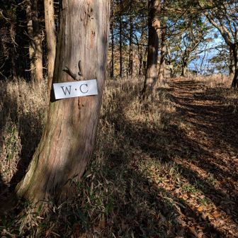
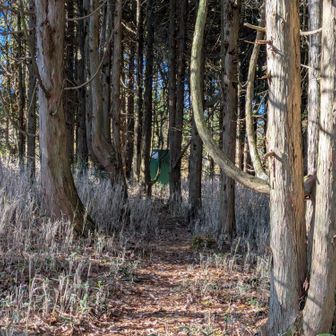
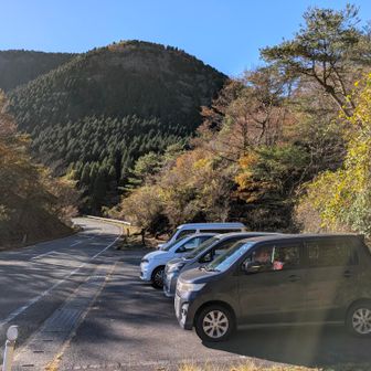
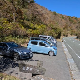
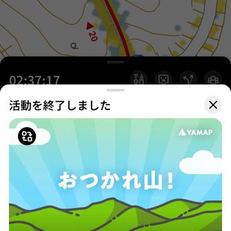
The recorded hike covered 8.7 km in 2 hours 37 minutes, with 360 m of ascent, 361 m of descent and 11 minutes of breaks. The walker estimated that the parking area at the Jizo Pass trailhead held five or six cars; it was full when they returned.
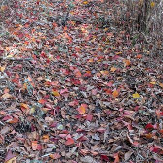
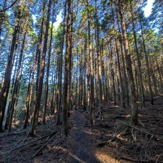
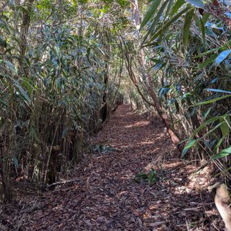
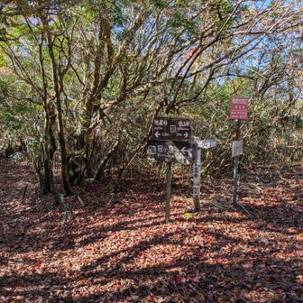
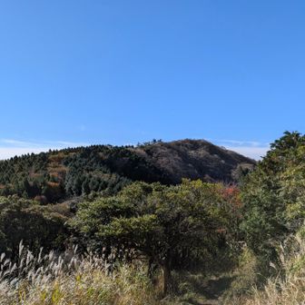
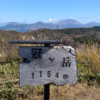
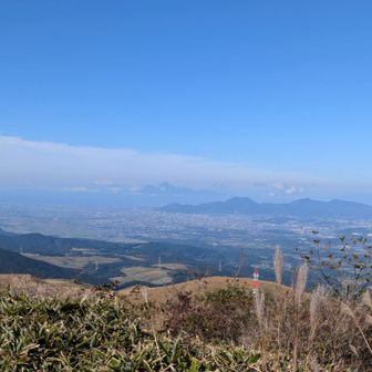
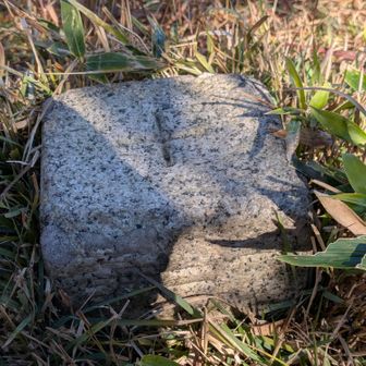
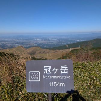
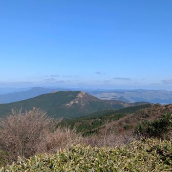
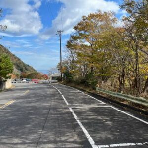
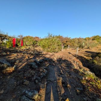
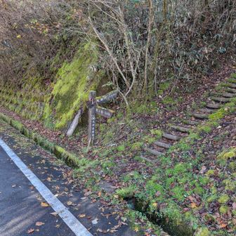
The account offers several route observations rather than a guarantee of current conditions. At Jizo Pass, the walker turned right toward Kanmurigatake, noting that the route straight ahead was easier to notice and that a map helped clarify the turn. Later, the route briefly met a road; the walker cautioned that cars were travelling fast where they crossed. They found most of the trail easy to walk, though a section through planted forest felt more difficult. They also judged the toilet they encountered to be of very limited use.
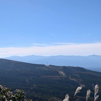
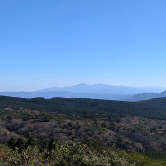
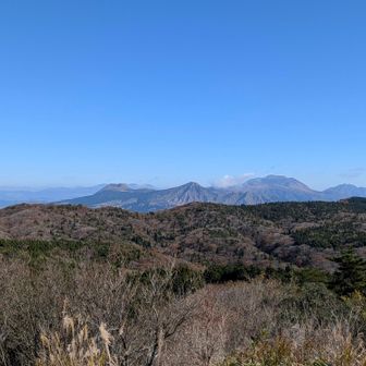
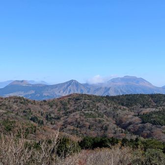
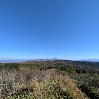
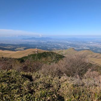
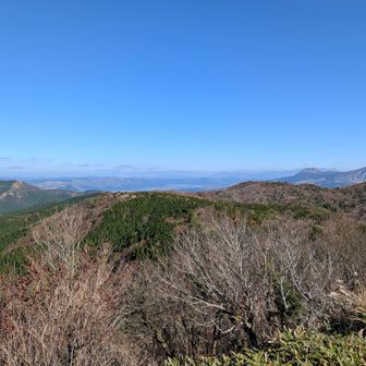
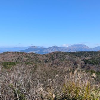
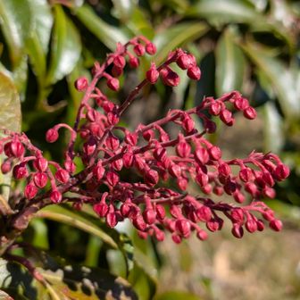
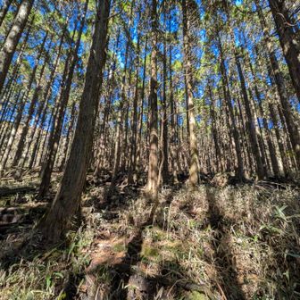
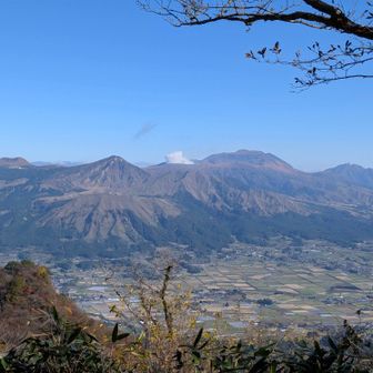
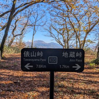
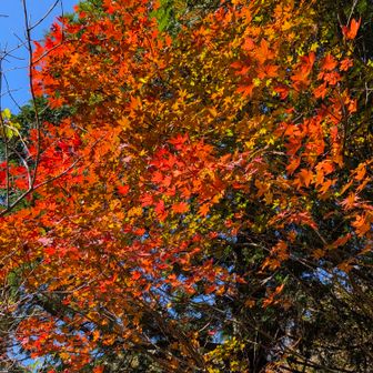
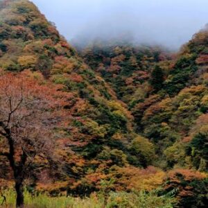
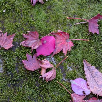
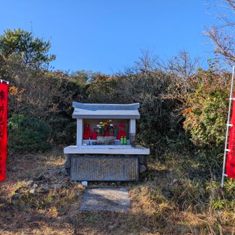
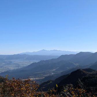
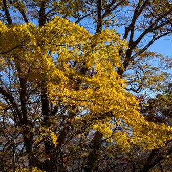
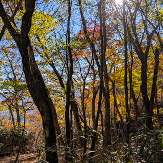
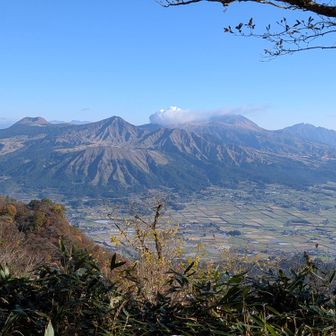
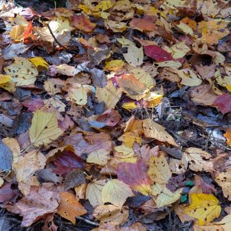
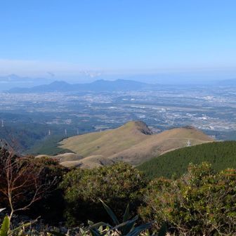
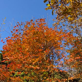
The walker saw some autumn colour and reported clear views, including a plume from Mount Aso. At Kanmurigatake’s summit, they reported no wind and no cold. Despite carrying a somewhat heavier pack than usual, they said they completed their chosen route without difficulty.