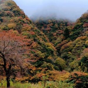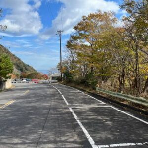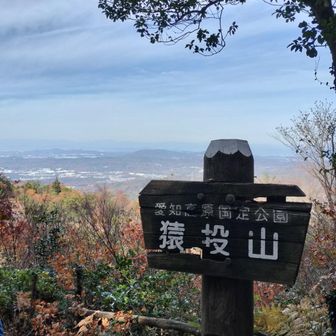
An activity log published on November 14, 2026, records a 9.1 km round-trip hike on Sanageyama. The route started and ended at the Sanageyama hikers’ parking area, passing the Tokai Nature Trail rest area, Oiwa viewpoint and Higashi no Miya before reaching the summit. Although the map label also names Monomiyama, the listed checkpoints do not show a visit to it.
The recorded outing lasted 2 hours 49 minutes, including 31 minutes of breaks, with 580 m of ascent and 571 m of descent. The log lists a standard course time of 4 hours 16 minutes. It does not specify the date of the hike.
The hiker reported temperatures of 8–13°C and said a mesh base layer and short-sleeved shirt were sufficient for them; they carried a down jacket but did not need it or a fleece. They also noted space for four cars beyond the Toromiru waterwheel and two more farther on. Those are observations from this outing, not a guarantee of current weather or parking availability.