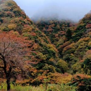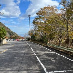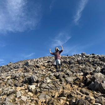
A YAMAP hiking log published on November 13, 2026, records a 10.0 km route on Ryozenzan. The activity took 5 hours 41 minutes, including 1 hour 17 minutes of breaks, with 884 m of ascent and 891 m of descent. The log does not specify the hike’s date or describe trail or weather conditions.
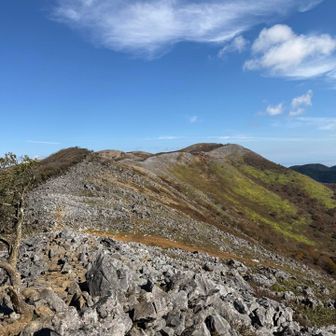
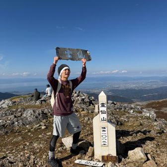

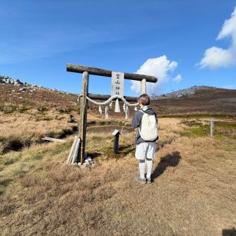
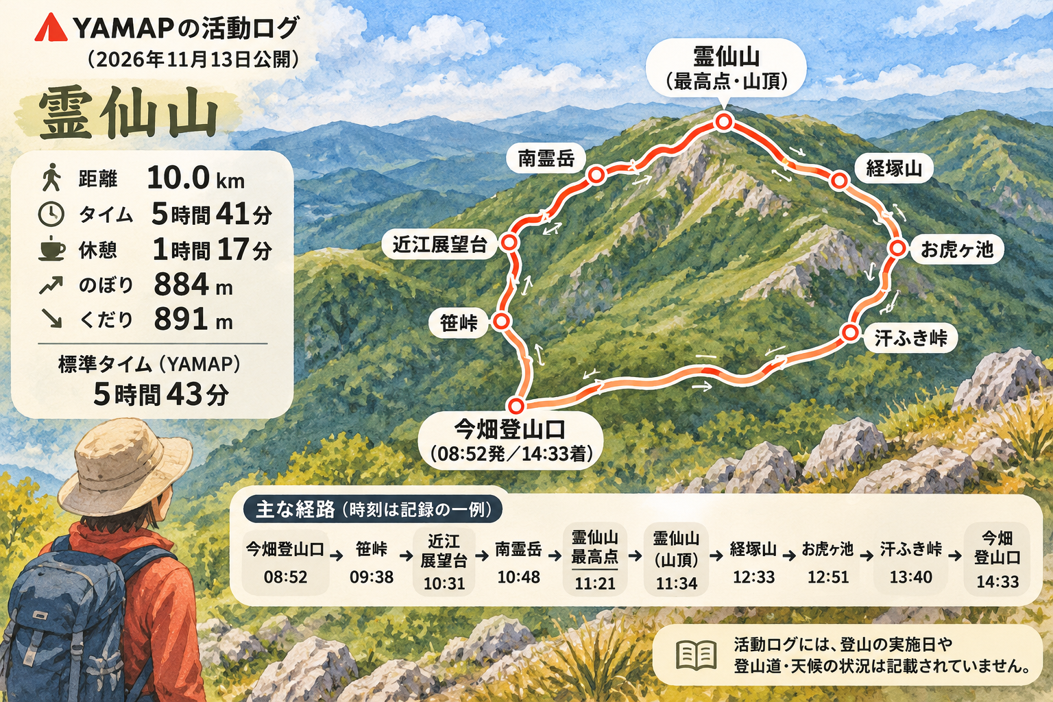
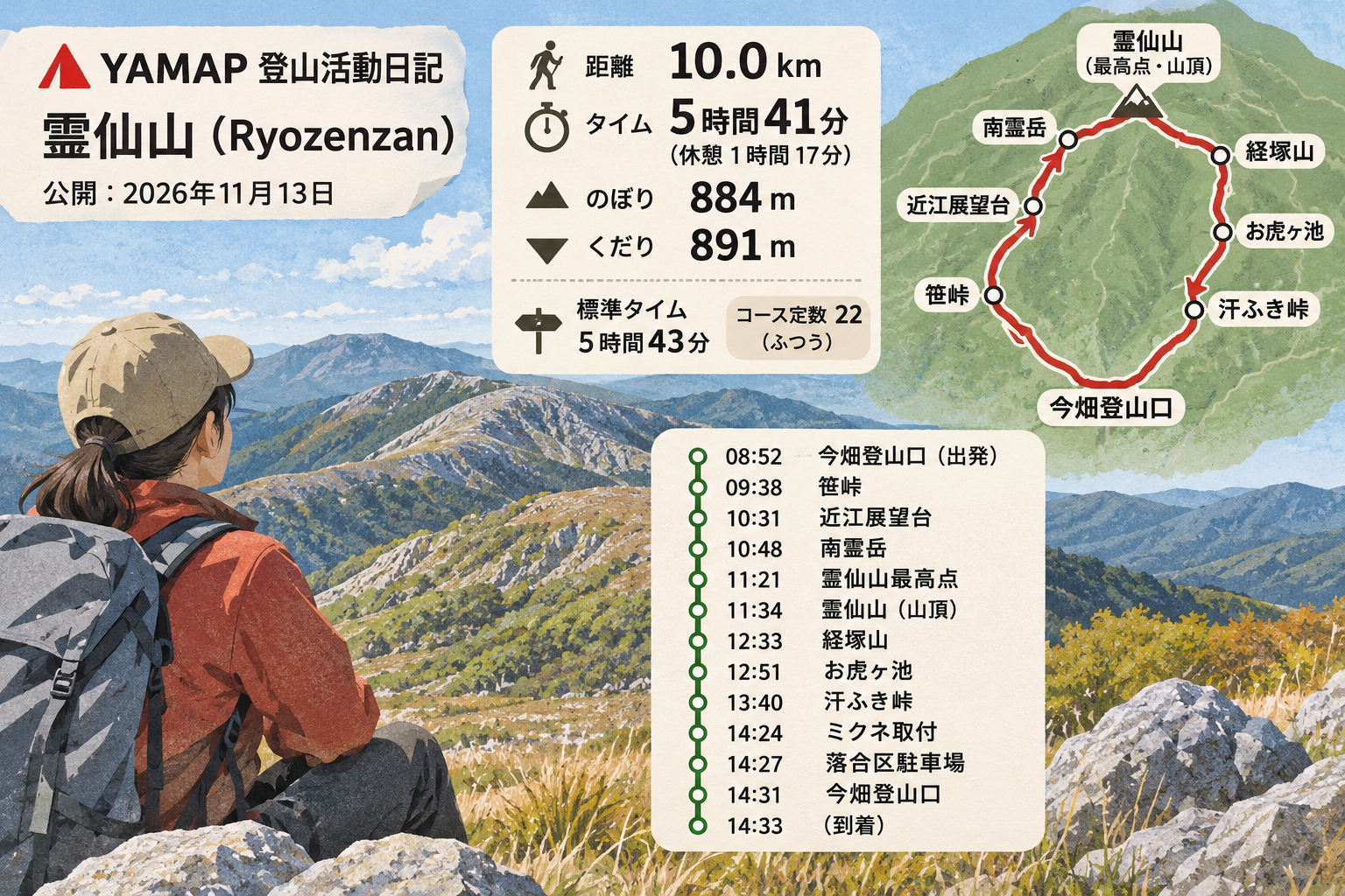
Starting at the Imabata trailhead at 08:52, the recorded route passed Sasatoge, Omi Viewpoint and Minami Ryozen before reaching Ryozenzan’s highest point and summit. It continued via Kyozuka, Otora-ga-ike and Asefuki Pass, returning to the Imabata trailhead at 14:33. YAMAP lists a standard time of 5 hours 43 minutes for the route.