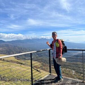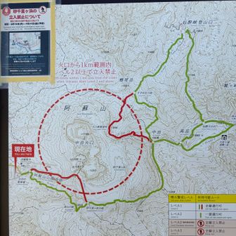
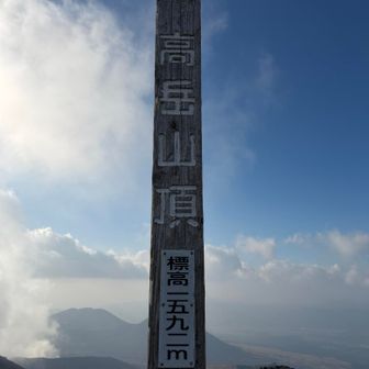
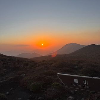
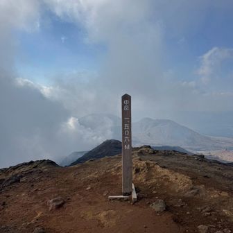
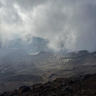
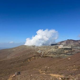
A hiking log for October 31, 2026, records a route on Mount Aso from Aso Sanjo Terminal through the Sarayama junction, Sand Senri-ga-hama, Sarayama, Minamidake and Nakadake to Takadake.
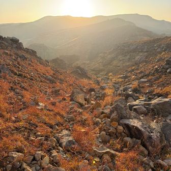
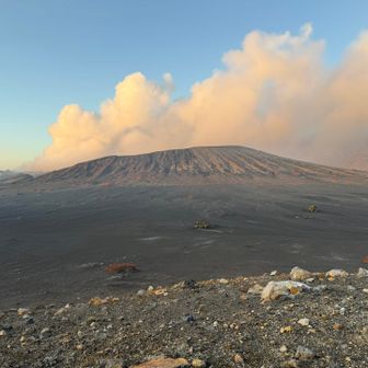
The recorded distance was 9.3 km, with 640 m of ascent and 642 m of descent. Total activity time was 5 hours, including 54 minutes of rest. These are figures from one activity log, not a suggested itinerary or an assessment of current trail conditions.
Source: yamap.com (originally published 2026-11-15 15:33 UTC+8)