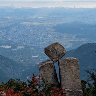
A Mount Gozaisho (Gozaishodake) activity log published on November 15, 2026 records a 6.9 km hike with 870 m of ascent and 870 m of descent. The reported total time was 6 hours 21 minutes, including 1 hour 10 minutes of breaks. The log does not specify the date of the hike.
The recorded route started at the free Mount Gozaisho parking area at 07:05, passed the Naka trailhead, Obare Rock and Jizo Rock, and reached the summit area. It then passed Bokodai and Kunimi Pass before returning via Tonai Hut to the parking area at 13:26.
These figures and checkpoints come from the activity log, not an independently verified route guide. The map label also names Mount Amagoidake, but the recorded checkpoints do not show a visit there.
Source: yamap.com (originally published 2026-11-15 15:33 UTC+8)