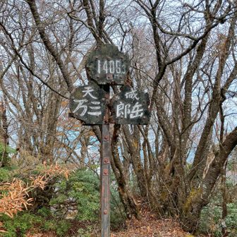
In a YAMAP activity report published on November 16, 2026, a hiker described a counterclockwise loop from the Amagi Highland hikers’ parking area over Manzaburō and Manjirō peaks. The report does not specify the date of the hike.
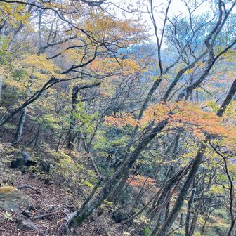
The recorded route covered 8.0 km in 3 hours 27 minutes, including 30 minutes of rest, with 663 m of ascent and 665 m of descent. The activity log runs from 9:28 a.m. to 12:55 p.m. and lists a standard course time of 4 hours 28 minutes.
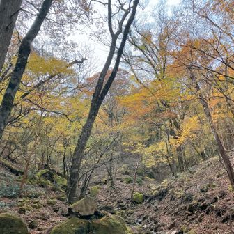
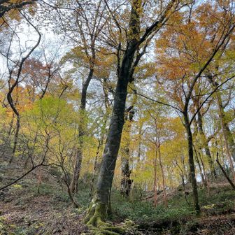
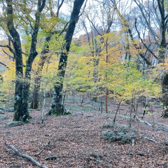
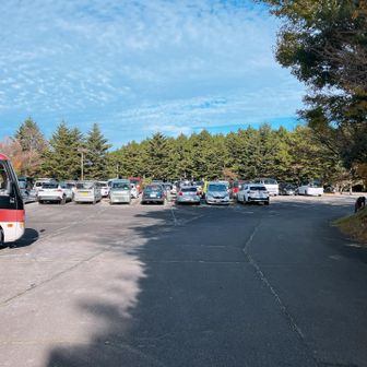
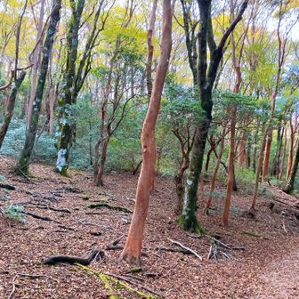
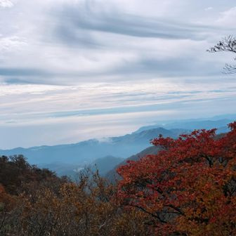
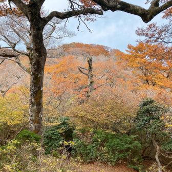
The hiker said the parking area was almost full when they arrived around 9 a.m. Leaves had fallen near the summit, while beech forest at mid-elevation still showed autumn colour. They also noted that the trail had not been repaired and was difficult to walk in places—an observation from this outing, not a current trail-condition update.
Source: yamap.com (originally published 2026-11-16 06:02 UTC+8)