A hiking log listed on November 15, 2026, records a 6.0 km route to Shioyamaruyama. It reports 2 hours 17 minutes in total, including 15 minutes of rest, with 530 m of ascent and 532 m of descent. The listing does not state when the hike took place.
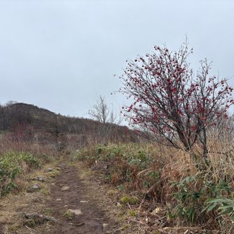
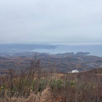
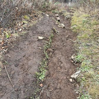
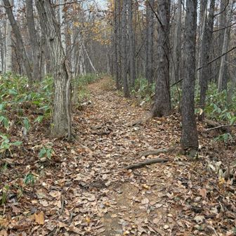
The hiker described abundant fallen leaves at the start and muddy, slippery ground near the summit. Those are conditions observed on this outing, not a forecast for future visits. Although the map is labelled “Shioyamaruyama–Okobachiyama,” the recorded checkpoints identify Shioyamaruyama, not an ascent of Okobachiyama.