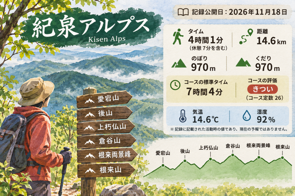
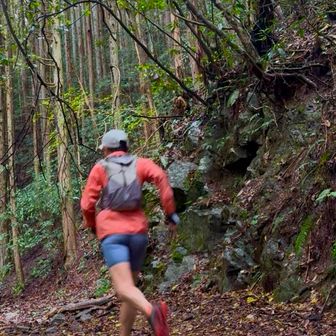
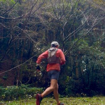
A hiking record published on November 18, 2026, describes a 14.6 km route in the Kisen Alps area. The recorded outing took 4 hours and 1 minute, including 7 minutes of rest, with 970 m of ascent and 970 m of descent. The route listing gives a standard time of 7 hours and 4 minutes and rates the course as demanding.
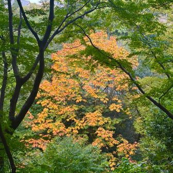
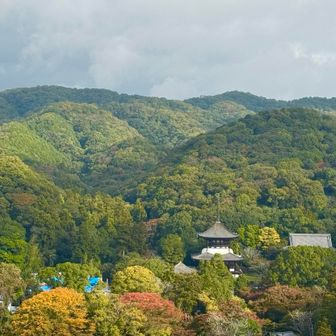
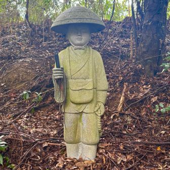
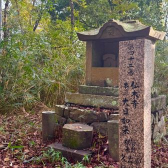
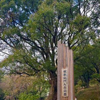
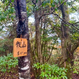
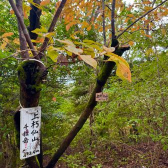
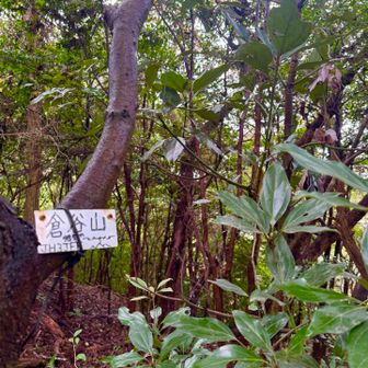
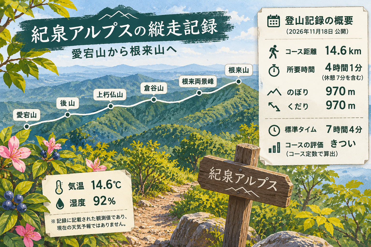
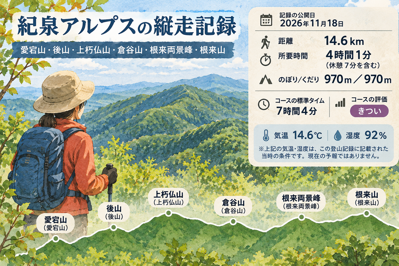
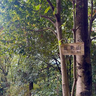
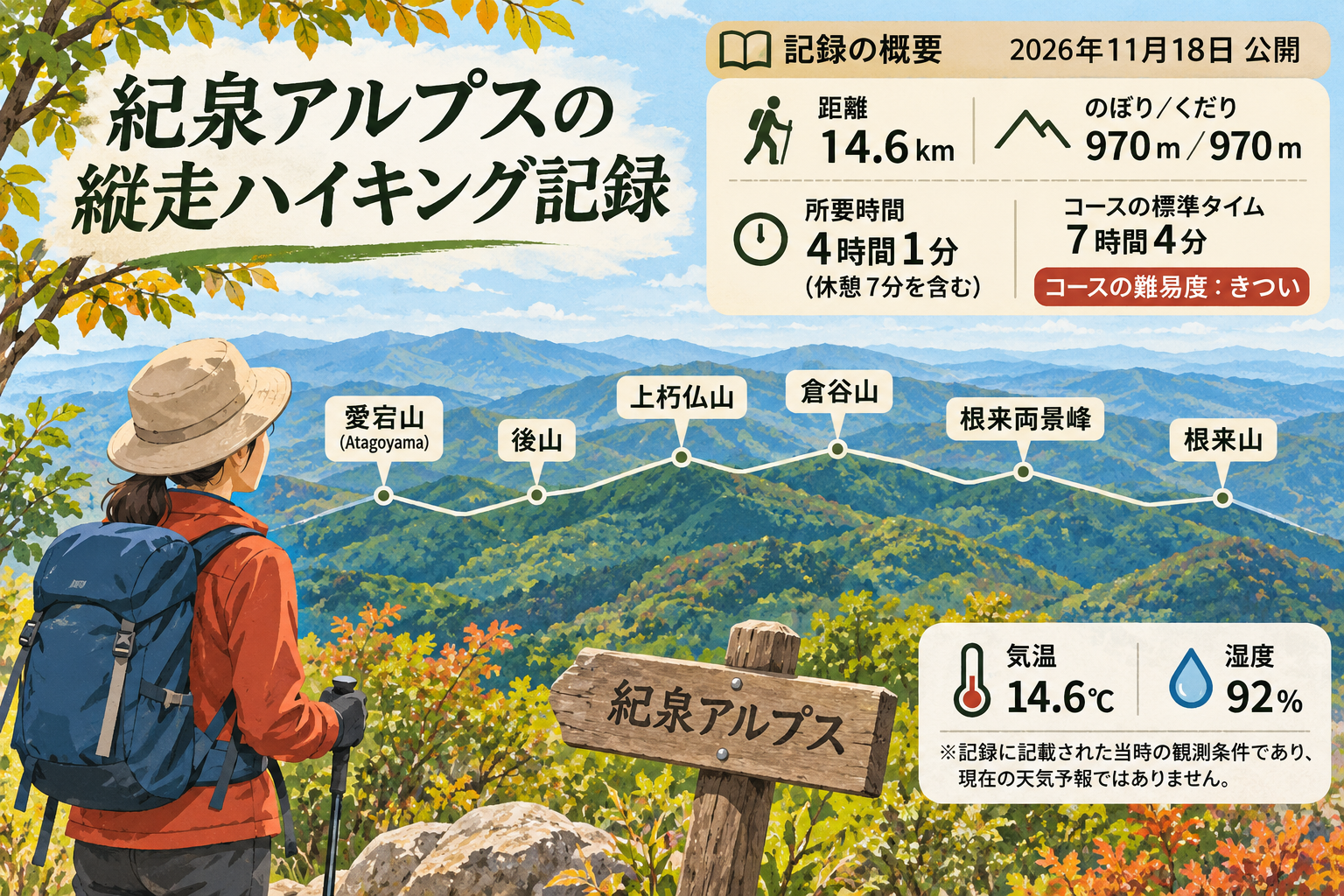
The checkpoints include Atagoyama (愛宕山), Ushiroyama (後山), Kamikuchibotoke-yama (上朽仏山), Kurataniyama (倉谷山), Negoro Ryōkeihō (根来両景峰) and Negoroyama (根来山). The record also lists a temperature of 14.6°C and humidity of 92%. It does not specify the date of the hike, so these conditions should not be taken as a current forecast.