A YAMAP activity log published on 12 November 2026 describes a walk the writer says they took the day before in Hasadani-cho, Komatsu City. It records 14 minutes in total, 337 meters, 19 meters of ascent, 24 meters of descent, and no rest. The route is labeled easy, and the course constant is said to have been calculated from a standard time of 8 minutes. No average pace or checkpoint list appears in the supplied text. The logged times are shown as 16:05 and 16:20.
The writer says the outing was not planned as a hike. They had gone to a special exhibition at the Ogoya Mine Museum, also in Komatsu. On the way back, a tourist information board near the Junidaki parking area listed the Matsuoka-ji temple ruins, and they followed Google Maps there by car. In the same account, the writer states that a student from a nearby special-needs school died in an accident at Junidaki earlier that summer. The log gives no further details of that incident.
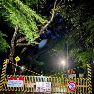
The trailhead is beside the shrine named 磯前神社. The writer passed a sign reading “Danger” and climbed stairs described as high, with moderately narrow treads. After the stone steps, the route became a dirt path. They say the mud was slippery and that they held the surrounding grass while climbing. Near the top, a marker still showed faint black lettering for 氷室跡, the Himuro ruins.
At their feet was an oval hollow. By eye, the writer estimated it at about 2 meters high and 4 to 5 meters across, and wondered whether it was large enough for one or two bears. Beyond it was a cleared plateau with an electricity transmission tower. At the lowest part of the Himuro remains was an opening just large enough for one person to crawl through, which the writer guessed might have been used to move things in and out. A softball-sized hole in the side wall was guessed to be an air hole. The log presents these ideas as speculation and notes that there was no explanatory sign.
Continuing downhill, the writer found another post. Faded black lettering pointed to the Matsuoka-ji ruins and, as they read it, directed them back to the Himuro ruins. The path only continued lower, and they did not think it actually reached the temple site. With the time nearing 16:30 and autumn dusk coming early, they returned via the Himuro ruins and the stone steps to the trailhead, then to the parking area.
Original activity log: https://yamap.com/activities/52613299