A YAMAP activity log records a hike of 2.7 km with 175 m of ascent and 177 m of descent. Total time was 1 hour 56 minutes, including 51 minutes of rest. The course constant was calculated from a standard time of 1 hour 8 minutes and rated easy (4). A hiking plan and GPX data were noted.
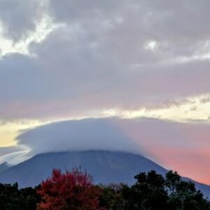
After viewing Yugama, the route ran from Shibu Pass, the highest point on the national road, to Mt. Yokote. From Yokote Mountain Hut the hiker looked out over Mt. Kusatsu-Shirane, the Yoshigadaira Wetlands, and colorful autumn leaves, and described the Gunma trip as enjoyable.
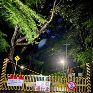
The hiker did not enter the no-entry zone within 500 m of the Kusatsu-Shirane crater. A route near Fureai Parking was a steep slope of loose gravel and felt unsafe to descend, so an alternative descent was used; a no-entry rope was found at the bottom. It was not clear from above whether that line was the official trail or a restricted section.
A later note says a mountain friend checked with the local government office and was told the office did not appear to be aware of the route on the side without the rope. The log suggests areas outside the 500 m zone may be at one’s own risk.
Original activity: https://yamap.com/activities/52123393