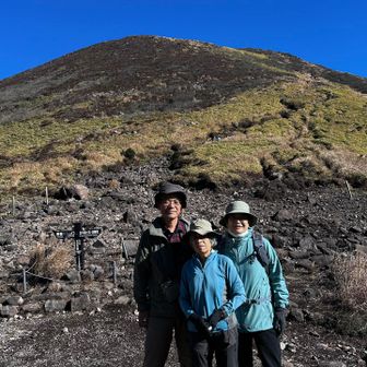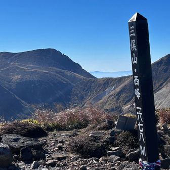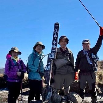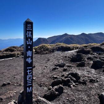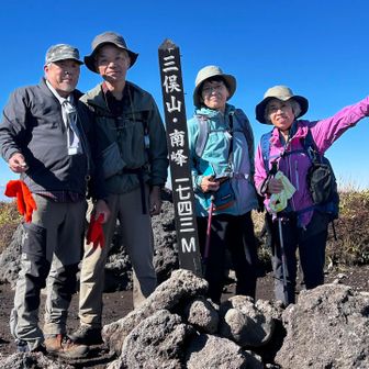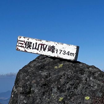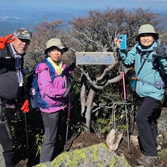
A YAMAP activity log records four members of Nonbiri Tozan-kai (のんびり登山会) making a circuit of Mitsumata-yama. The log is filed on the Waita-san and Ryoshi-yama map and names the west peak, Peak IV, the main peak, the north peak and the south peak.
The record gives a total time of 7 hours 27 minutes, including 1 hour 20 minutes of breaks, a distance of 7.3 km, 801 m of ascent and 797 m of descent. Its course constant is 18, rated ordinary (ふつう), calculated from a standard time of 4 hours 44 minutes. The text mentions average pace but does not give a figure. The activity text does not state a separate hike date; the record is timestamped 11 November 2026.
Checkpoint times in the log, as arrival and departure:
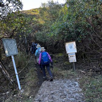
- Omagari trailhead (大曲登山口): 08:23, and 15:49 on the return
- Omagari parking (大曲駐車場): 08:23–08:25, and 15:49–15:51
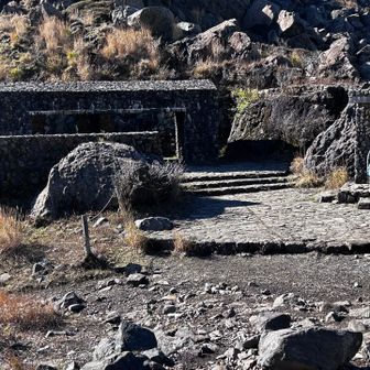
- Sugamori Pass (諏蛾守越): 09:41–09:51, and 14:44–14:52
- Mitsumata-yama west peak: 10:25–10:35, and 14:19–14:23
- Mitsumata-yama Peak IV: 10:54–11:02, and 13:45–14:02
- Mitsumata-yama main peak: 11:02–11:53
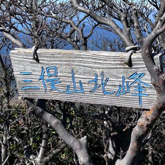
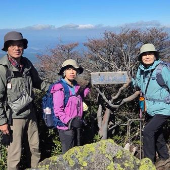
- Mitsumata-yama north peak: 12:02–12:27
- Mitsumata-yama south peak: 13:21–13:44
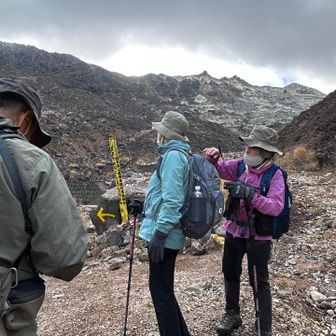
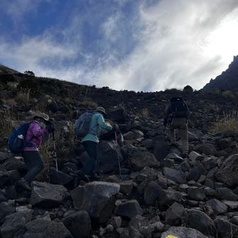
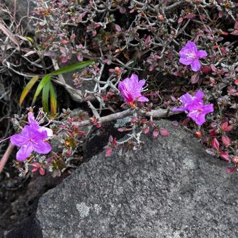
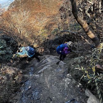
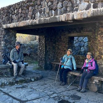
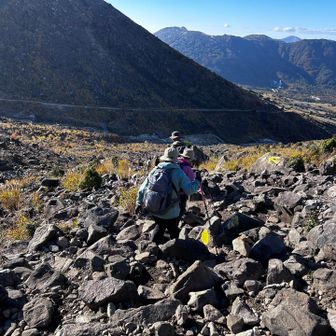
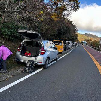
Photo captions in the same log, written by the participant, add these observations. Omagari parking was full. The route included scree. One caption asks whether a plant is Miyama-kirishima, with a question mark left in the original. The group notes the Sugamori Pass shelter and later rests at the Sugamori emergency hut.
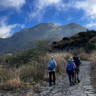
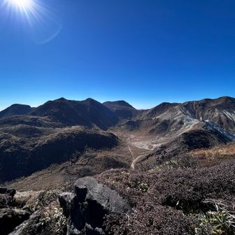
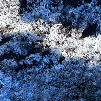
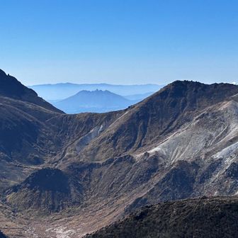
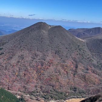
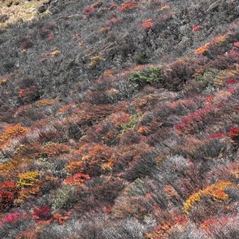
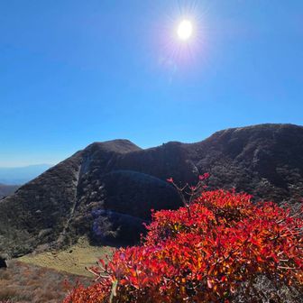
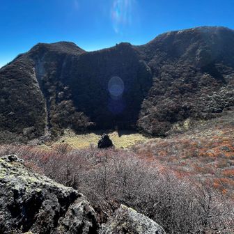
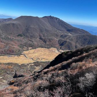
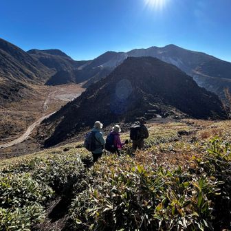
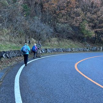
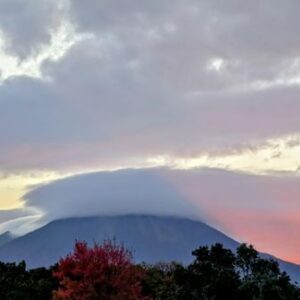
Named views in the captions are Mount Io in the background, the Kuju range, Taisen-zan (大船山), Waita-san, and Neko-dake between Kuju-san and Hossho-zaki (星生崎, as written). Lower on Heiji-dake, the writer notes autumn color. Needle ice is described as hard and cracking. On the path from the west peak to the main peak, the writer says melted needle ice had turned the black soil to mud that covered shoes and trousers. A crater section is mentioned. From the ridge toward the south peak, Bogatsuru is described with tents scattered across it. One photo is credited to leader Kajikuri and captioned as autumn leaves and Mitsumata.
The north peak was a first for the writer. The descent from the main peak, and the climb up and down the north peak, are described as more than expected and of a different character from the west, main and south peaks. The writer says the weather was good.
These notes are one group’s activity log, not a current trail report.
Original activity log: https://yamap.com/activities/52536045