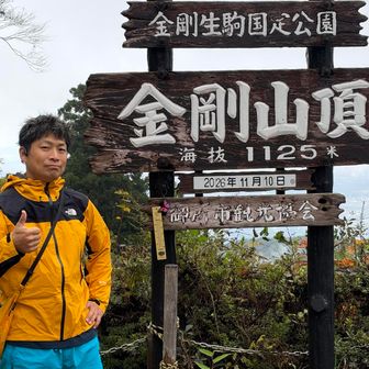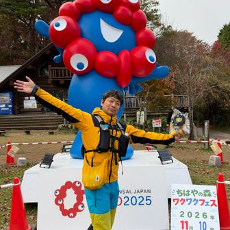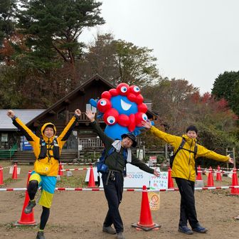
A YAMAP activity log posted on 11 November 2026 describes a hike mapped under 金剛山・二上山・大和葛城山 (Mount Kongo, Mount Nijo and Mount Yamato Katsuragi). The checkpoints stay on the Kongo ridge. The entry does not record ascents of Mount Nijo or the main Yamato Katsuragi summit, and it gives no hike date separate from that posting time. The author, who writes that they are more of a Katsuragi regular and rarely climb Kongo, says they found a route with real walking in it. They went because a senior wanted to see Myaku-Myaku (ミャクミャク), the Expo 2025 Osaka mascot.
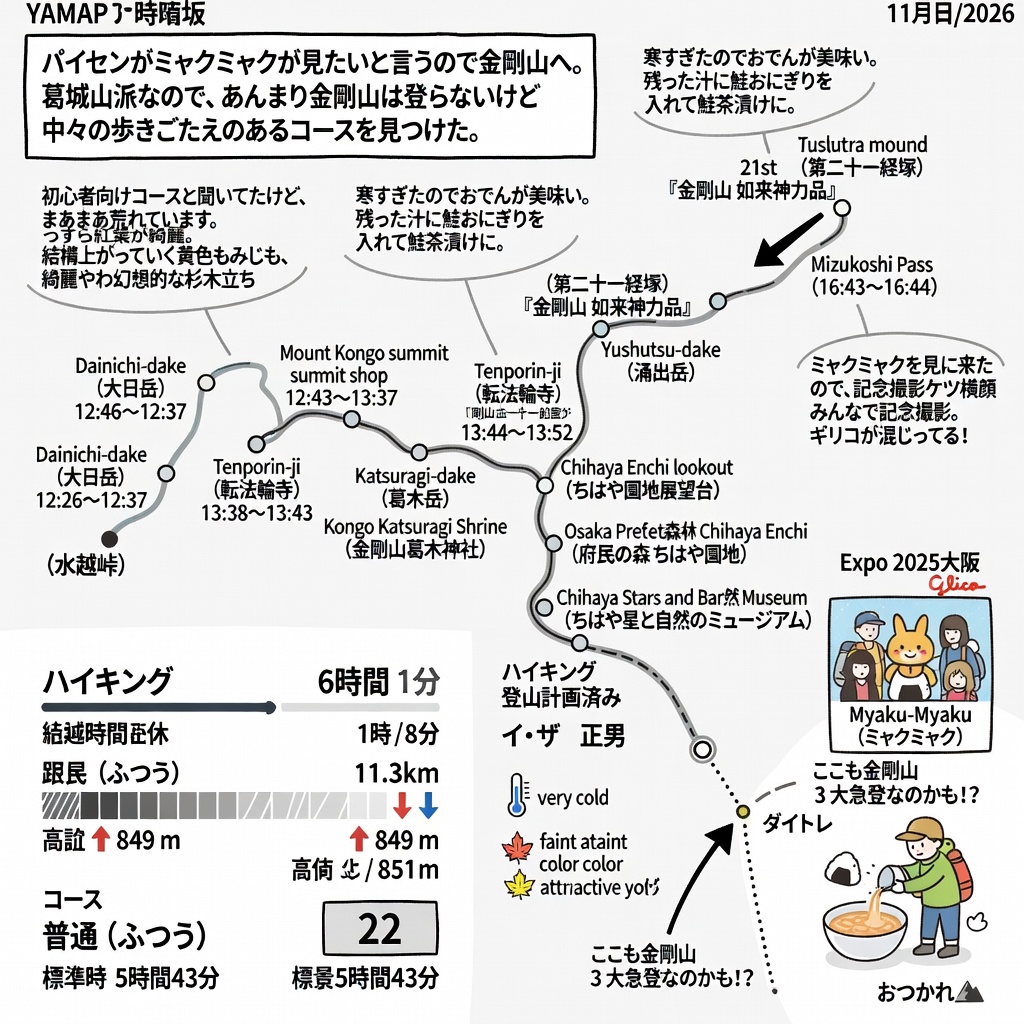
The summary lists 6 hours 1 minute elapsed, including 1 hour 8 minutes of rest, 11.3 km, 849 m of ascent and 851 m of descent. The course constant is given as 22, rated ordinary (ふつう), calculated from a standard time of 5 hours 43 minutes. The activity is tagged as hiking and marked as planned. The members field lists イ・ザ 正男.
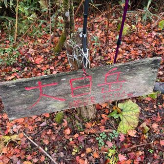
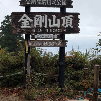
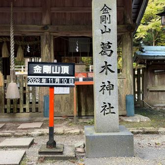
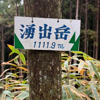
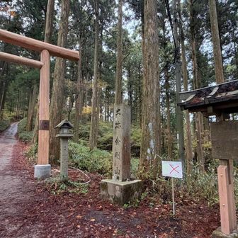
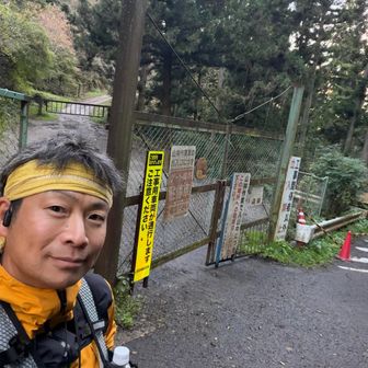
The day starts and ends at Mizukoshi Pass (水越峠), logged at 10:42–10:43 and again at 16:43–16:44. Other clearly separated times include Dainichi-dake (大日岳) at 12:26–12:37; the Mount Kongo summit shop and the summit from 12:43 through 13:37; Tenporin-ji (転法輪寺) at 13:38–13:43; Katsuragi-dake (葛木岳) and Kongo Katsuragi Shrine (金剛山葛木神社) between 13:44 and 13:52; then 湧出岳, the Chihaya Enchi lookout (ちはや園地展望台), Osaka Prefectural Forest Chihaya Enchi (府民の森 ちはや園地) and the Chihaya Stars and Nature Museum (ちはや星と自然のミュージアム). On the way back, the log notes the 21st sutra mound, titled 「金剛山 如来神力品」, between further timestamps at 湧出岳. Some times in the source text are run together, so only clearly separated clock times are used here.
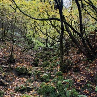
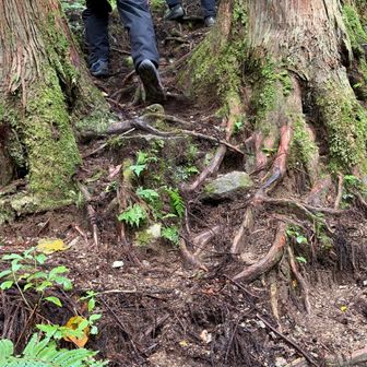
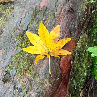
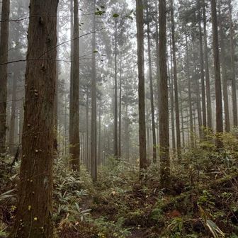
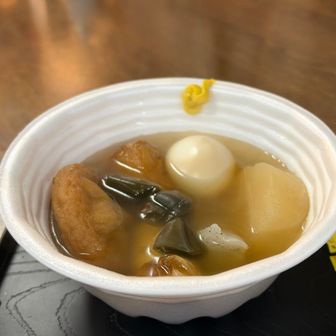
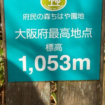
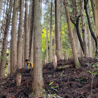
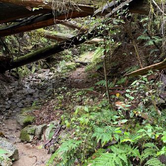
Trail notes qualify the “beginner course” label the hiker had heard: they call the path fairly rough and say the climb keeps going. Scenery comments are limited to faint autumn color, yellow maples they found attractive, and a cedar grove described as fantastical. Summits are checked in when the route passes them, including one the hiker only notes is a summit on arrival. One caption calls a point the highest place in Osaka. The weather note is that it was very cold, so oden tasted especially good; leftover broth was poured over a salmon rice ball and eaten as salmon chazuke.
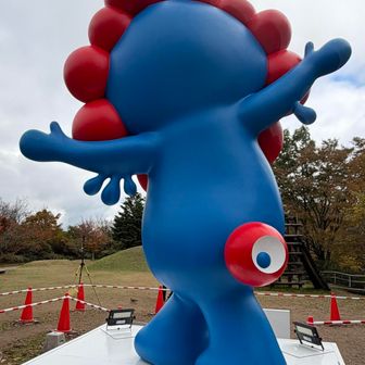
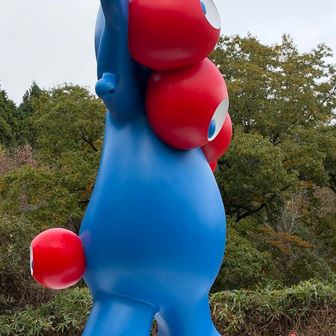
For Myaku-Myaku, the hiker records a commemorative photo, separate shots of its back and profile, and a group photo in which they say Glico is mixed in. They also stopped at a sutra mound they had not seen for some time and checked in the nearby summit while there.
On the return, the Diamond Trail (ダイトレ) divides, but they leave it partway and drop onto a direct route. The hiker calls the angle considerable and asks whether the section might also be one of Mount Kongo’s three major steep climbs. The log leaves that as an open question and closes with a brief note of being done for the day.